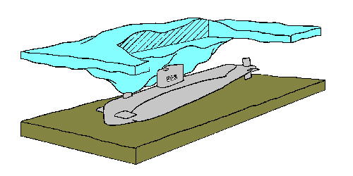
When two ice sheets come
together they overlap, break, and pile "down" in giant
"peaks" of ice. They have been known to extend down over 150
feet. In the Bering Strait where Sargo was in 1960 the water is only
150 to 200 feet and in the middle of winter when they were there,
these ice keels presented virtual walls of ice that had to be
navigated around. I have attached an artist's rendetion that was done,
at the time, to show the scale of the keel and the depth of the water.
The rendetion was done in 1960, I added the color.

There is some video footage
(very brief) that shows a submarine passing beneath an ice keel and
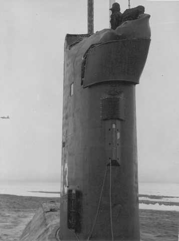
also a SSN 637 Class submarine that has just submerged after having
been surfaced in the ice (note the cross pattern where the sail and
sail planes broke thru the ice).
http://www.csp.navy.mil/asl/SRVSFootage.html
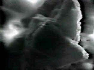
This is a screen capture of
the ice keel video available via the above Navy link:


